Storm Alert: Imelda Grows Stronger While Southeast US and Bermuda Brace for Impact
As Imelda gathers strength just north of the Bahamas and veers eastward, the Southeast coast of the US is feeling its effects. The storm has induced strong surf, rip currents, and coastal erosion. Meanwhile, Bermuda is under threat from two storms, Humberto and Imelda.
Previously a Category 5 hurricane, Humberto is now a large Category 2 storm situated a few hundred miles east of Imelda. Its large size intensifies the threat to US beaches, driving deadly rip currents and large waves further up the East Coast than Imelda alone.
Imelda's Impact on the Bahamas
Imelda wreaked havoc on the Bahamas over two days before moving away Monday evening. The storm brought heavy rain, tropical storm-force winds, and storm surge. As of Tuesday morning, Imelda's sustained winds were at 70 mph, and the storm was located about 750 miles west-southwest of Bermuda. It is predicted to reach hurricane strength later on Tuesday.
Imelda's Deadly Consequences
Even though its center remains offshore, Imelda has already claimed lives. In Volusia County, Florida, a 51-year-old man drowned after being swept into the ocean by rip currents. The storm also caused two deaths in Cuba. One of the victims was a 60-year-old man whose home collapsed due to a landslide triggered by heavy rain.
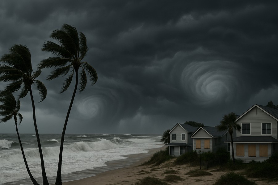
Flooding Concerns Along the Southeast Coast
Flash flooding is a concern in the coastal areas of the Carolinas through Tuesday. The region can expect up to 2 inches of rain, with certain areas in southeast North Carolina potentially receiving up to 4 inches. Coastal flooding is also a possibility from Florida’s Space Coast to North Carolina’s Outer Banks, where onshore winds could push water 1 to 2 feet above normally dry ground at high tide.
Changes in Storm Paths
Imelda is expected to take a sharp right turn as Humberto pulls the storm eastward away from the coastline. This anticipated interaction between the two storms is decreasing the threats of flooding rain and damaging winds for the US.
This year, the US has so far avoided a direct hurricane landfall. Although Tropical Storm Chantal hit South Carolina in July, no storms have reached the coast at hurricane strength this year. If this trend continues, it will be the first season without a hurricane landfall in a decade.
This season has been noteworthy for another reason: every hurricane so far has reached major strength, a phenomenon not seen this early since 1935. Major hurricanes are Category 3, 4, and 5 storms. Rapid intensification has become more common in recent years due to global warming caused by fossil fuel pollution.
Bermuda Braces for a Rare Double Threat
Bermuda is preparing for the onslaught of two storms this week. Humberto is expected to pass west of the island Tuesday as a large hurricane, bringing rain, gusty winds, and dangerous surf.
Following Humberto's path, Imelda is expected to move even closer to Bermuda, potentially making a direct landfall and dumping up to 4 inches of rain from Wednesday to Thursday. In anticipation of Imelda, the Bermuda Weather Service issued a hurricane watch for the archipelago Monday afternoon.
Two hurricanes in one week could deliver a punishing blow, even to the island chain that is accustomed and prepared for storm events.