
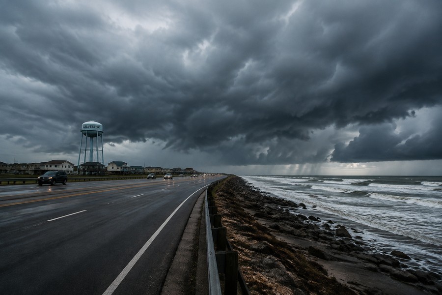
Two Tropical Systems Bring Drenching Rains to the Gulf Coast and the Caribbean
The southern United States and the Caribbean islands are keeping a close watch on the tropics. Two different weather systems are moving through these regions, bringing the threat of heavy downpours, potential flooding, and a chance of tropical development. While one system is brewing close to the American coast, another is traveling across the islands, leaving communities to prepare for wet days ahead.
A Quick-Moving Storm Targets the Gulf Coast
A low-pressure system in the Gulf of Mexico is showing signs of organizing. This area is being watched closely because it could quickly develop into a named tropical storm. If it gains enough strength, it will receive the next name on the seasonal list, which is Edouard.
Even if the system does not officially become a named storm, its effects will remain the same for residents along the coast. The system is expected to move inland very quickly, possibly by late tonight or tomorrow morning. Because of this fast movement, the storm will likely be short-lived, but it still carries enough moisture to cause localized issues.
Specialized research planes are scheduled to fly directly into the disturbance to gather crucial data. These flights help measure wind speeds and atmospheric pressure, giving a clearer picture of what to expect.
Heavy Rainfall Expected for Texas and Louisiana
The primary concern with this Gulf system is water. Heavy, soaking rains are forecast for the coastal regions of Texas and Louisiana during the first half of the week.
Here is what residents in the affected areas should prepare for:
- Several inches of rainfall over a short period, which could lead to water pooling on roads.
- Localized flooding in low-lying areas with poor drainage.
- Gusty winds and choppy seas along the immediate coastline.
People living in these coastal zones should keep an eye on local weather updates and avoid driving through flooded roadways.
Drought Relief and Flood Risks in the Caribbean
Further to the east, another weather system is making its way toward the Caribbean. This system was once an organized tropical storm named Dolly, which was the fourth named storm of the current season. Although it weakened into an open tropical wave, it still holds a massive amount of moisture.
The name of this storm comes from a rotating list of names that was established in the mid-1990s. The naming process is completely random and follows a set schedule that has been in place for decades, rather than being a tribute to any specific person.
For many Caribbean islands, the arrival of this wet weather is actually a welcome event. Places like Puerto Rico and the Virgin Islands have been experiencing a rapidly growing drought. Summer tropical waves usually supply these islands with much-needed water, but a strong weather pattern known as El Niño has caused many of those waves to dry up lately.
While the rain is beneficial for the dry soil, it does come with risks:
- Heavy downpours could trigger sudden flash floods.
- Hilly and mountainous areas are especially vulnerable to mudslides and rapid runoff.
- Gusty winds will likely accompany the passing showers.
Could the Weakened System Make a Comeback?
Though the Caribbean system has lost its tropical storm status, its journey is far from over. There is a slight chance it could reorganize later in the week.
Typically, the El Niño climate pattern creates strong winds high in the atmosphere. These winds, known as wind shear, act like a blender, ripping weak tropical systems apart before they can grow. However, if the remnants of this system can travel far enough north, they might escape these hostile winds.
To make a full comeback, the system must survive two major obstacles:
- Harsh upper-level winds: The system will continue to battle destructive winds over the next few days.
- Land obstacles: The tall mountains of Puerto Rico, Hispaniola, and Cuba can disrupt the wind patterns of a storm, slowing down any attempts to rebuild.
If the system survives these challenges, it will move into warmer, more favorable waters. Some computer models suggest it could find a friendlier environment between the Gulf of Mexico and the western Atlantic. If that happens, the system could regenerate and eventually bring more rain to the southeastern United States in about a week or more.
Staying Prepared During Hurricane Season
Weather patterns can change quickly, making it difficult to know exactly what a system will look like a week from now. Even during seasons that are expected to be quieter than usual, a single storm can cause significant disruptions. Families are encouraged to review their emergency plans, keep basic supplies on hand, and stay informed about changing weather conditions in their local areas.